

Illinois · US
Champaign
40.1109° N — 88.2323° W
A Champaign, Illinois map print in three colorways — an instant digital download of the streets you know by name. This is the flat grid of central Illinois laid out clean and legible, from the numbered avenues downtown to Green Street and the campus blocks of the University of Illinois Urbana-Champaign, where Champaign meets Urbana. For anyone who studied, taught, or set down roots on this prairie crossroads, it's the whole town written out street by street.
The colorways
One city, three moods
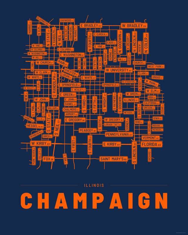
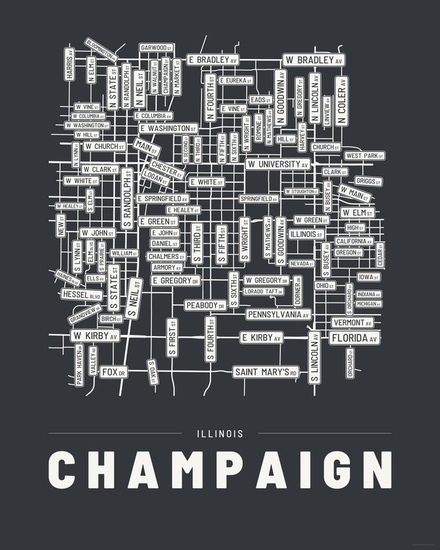
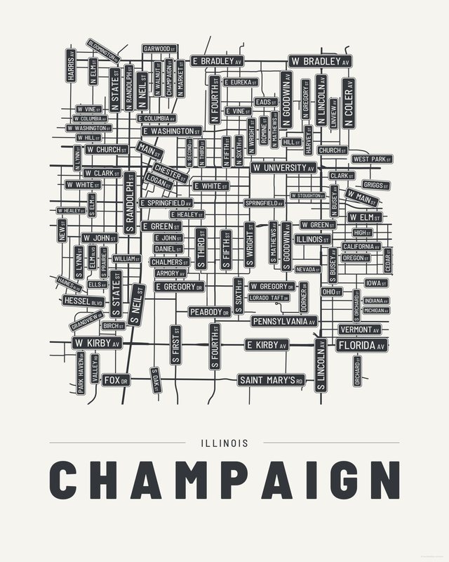
All three come with every purchase — the same Champaign fits a bright hallway or a moody study, and you can change your mind later.
Print sizes
All included
- 12×18 · 16×24 · 24×36 in 30×45 · 40×60 · 50×75 cm
- 9×12 · 18×24 · 24×32 in 30×40 · 45×60 · 60×80 cm
- 8×10 · 16×20 · 24×30 in 20×25 · 40×50 · 60×75 cm
- A4 · A3 · A2 · A1 21×30 → 59×84 cm · fits IKEA / A-size frames
- 11×14 · 22×28 in 28×36 · 56×71 cm
Every purchase contains all three colorways in all five sizes, as vector PDF and 300 DPI PNG — an instant digital download on Etsy. The PDF is drawn, not rasterised, so it prints crisp at any size. Nothing ships; you print it your way.
The other edition
Also drawn as a map
The same city drawn as a quiet minimalist map, in three colorways.
Keep exploring
More cities
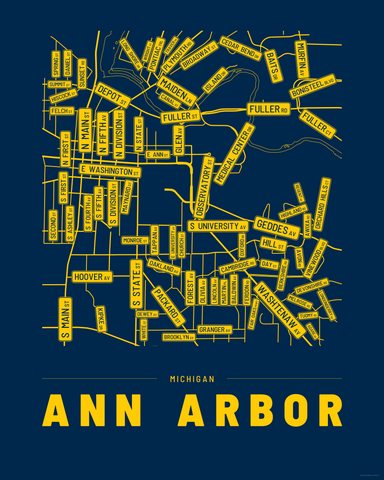
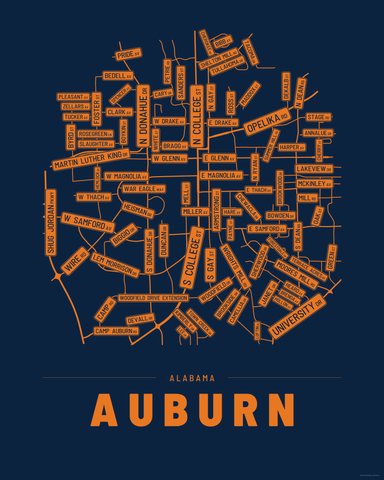
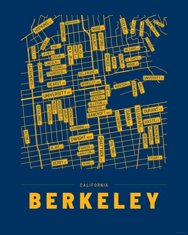
Three colorways · five sizes
Take Champaign home
Instant digital download — nothing ships, no frame included.