

Tennessee · United States
KnoxvilleStreet Map Print
35.9581° N — 83.9229° W
A Knoxville street map print in three colorways — an instant digital download of the Tennessee college town written out street by street. Neyland Drive follows the Tennessee River along the bottom of it, Cumberland Avenue and Clinch Avenue run the ridge above, and Volunteer Boulevard crosses between them. Second Creek comes down past World's Fair Park, with Circle Park green at the top of the hill. Every street the sheet has room for carries its own name, set along the road it belongs to.
The colorways
One city, three moods
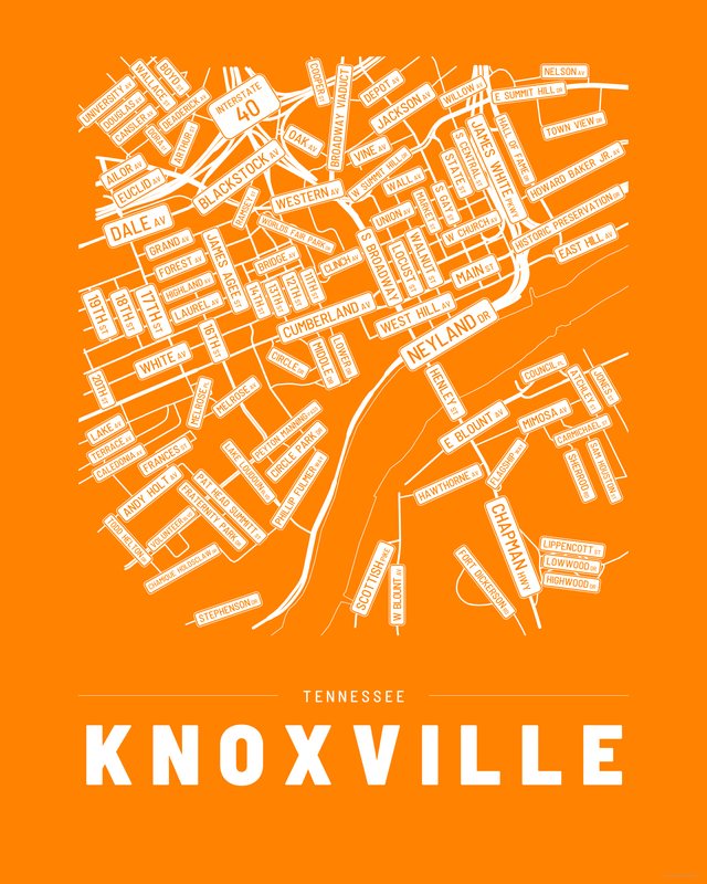
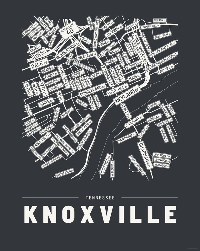
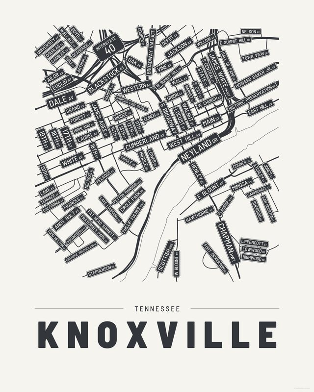
All three come with every purchase — the same Knoxville fits a bright hallway or a moody study, and you can change your mind later.
The details
This print, exactly
- Coverage
- 2.8 km (1.7 mi) across, east to west
- Centred on
- 35.9581° N — 83.9229° W
- Place
- Tennessee · United States
- Colorways
- Accent, Ink, Paper — all three included
- Print sizes
- five ratios, each at its largest print size · up to 24×36 in / 60×90 cm
- Files
- vector PDF and 300 DPI PNG
- Price
- $6.29
$8.99— instant download, nothing ships - Map data
- OpenStreetMap · © OpenStreetMap contributors
101 streets are named on the sheet: 11th Street, 12th Street, 13th Street, 14th Street, 16th Street, 18th Street, 19th Street, 20th Street, Ailor Avenue, Andy Holt Avenue, Arthur Street, Atchley Street, Blackstock Avenue Southwest, Boyd Street, Bridge Avenue Southwest, Broadway Viaduct, Caledonia Avenue, Cansler Avenue, Carmichael Street, Chamique Holdsclaw Drive, Chapman Highway, Circle Drive, Circle Park Drive, Clinch Avenue, Cooper Street, Council Place Southeast, Cumberland Avenue, Dale Avenue, Deaderick Avenue, Dora Street, Douglas Avenue, East Blount Avenue, East Hill Avenue, East Summit Hill Drive, Euclid Avenue Northwest, Flagship Way, Forest Avenue, Fort Dickerson Road Southwest, Frances Street Southwest, Fraternity Park Drive Southwest, Grand Avenue, Hall of Fame Drive, Hawthorne Avenue Southwest, Henley Street, Highland Avenue, Highwood Drive, Historic Preservation Drive, Howard Baker Jr. Avenue, I 40, James Agee Street, James White Parkway, Jones Street, Lake Avenue, Lake Loudoun Boulevard Southwest, Laurel Avenue, Lippencott Street Southeast, Locust Street Southwest, Lower Drive, Lowwood Drive, Main Street West, Market Street Southwest, Melrose Avenue, Melrose Place, Middle Drive, Mimosa Avenue Southeast, Nelson Avenue, Neyland Drive, North 17th Street, Oak Avenue, Pat Head Summitt Street, Peyton Manning Pass, Phillip Fulmer Way, Ramsey Street, Sam Houston Street Southeast, Scottish Pike Southwest, Sherrod Road Southeast, South Broadway, South Central Street, South Gay Street, State Street, Stephenson Drive, Terrace Avenue, Todd Helton Drive, Town View Drive, Union Avenue, University Avenue, Volunteer Boulevard, Wall Avenue Southwest, Wallace Street, Walnut Street, West Blount Avenue, West Church Avenue, West Depot Avenue, West Hill Avenue, West Jackson Avenue, West Summit Hill Drive, West Vine Avenue, Western Avenue, White Avenue, Willow Avenue, Worlds Fair Park Drive.
Print sizes
All included
- 12×18 · 16×24 · 24×36 in 30×45 · 40×60 · 50×75 cm
- 9×12 · 18×24 · 24×32 in 30×40 · 45×60 · 60×80 cm
- 8×10 · 16×20 · 24×30 in 20×25 · 40×50 · 60×75 cm
- A4 · A3 · A2 · A1 21×30 → 59×84 cm · fits IKEA / A-size frames
- 11×14 · 22×28 in 28×36 · 56×71 cm
Every purchase contains all three colorways in all five sizes, as vector PDF and 300 DPI PNG — an instant digital download on Etsy. The PDF is drawn, not rasterised, so it prints crisp at any size. Nothing ships; you print it your way.
Keep exploring
More cities
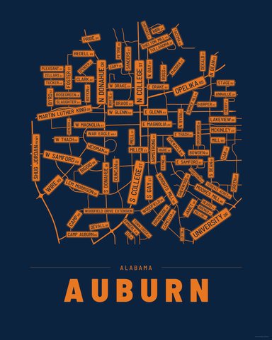

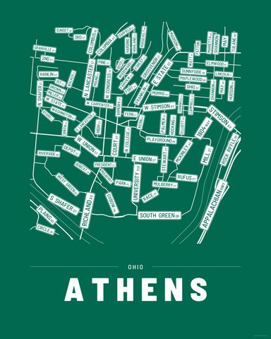
Three colorways · five sizes
Take Knoxville home
Instant digital download — nothing ships, no frame included.