

Germany
BerlinMap Print
52.5162° N — 13.3862° E
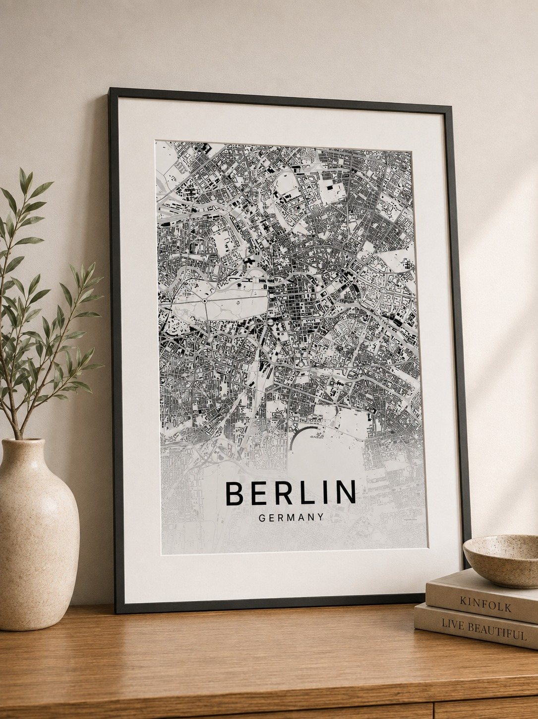
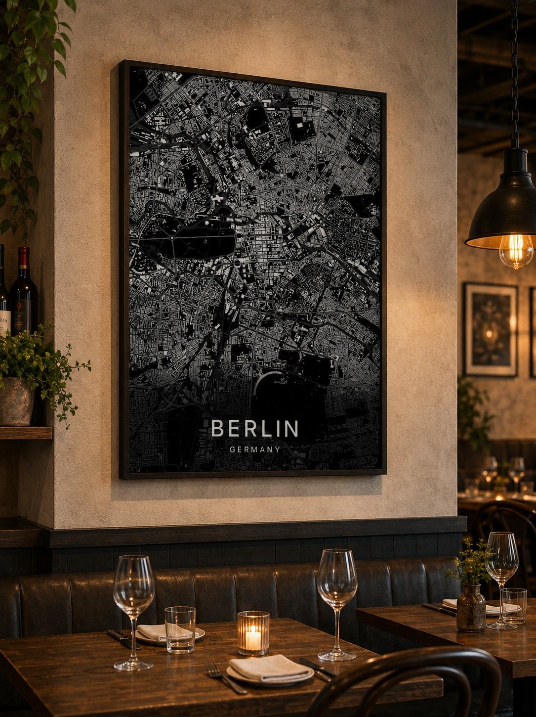
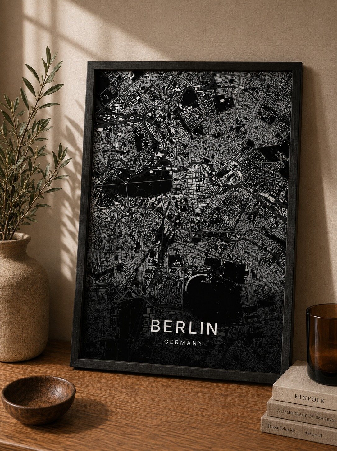
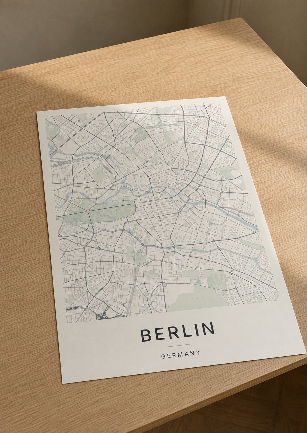
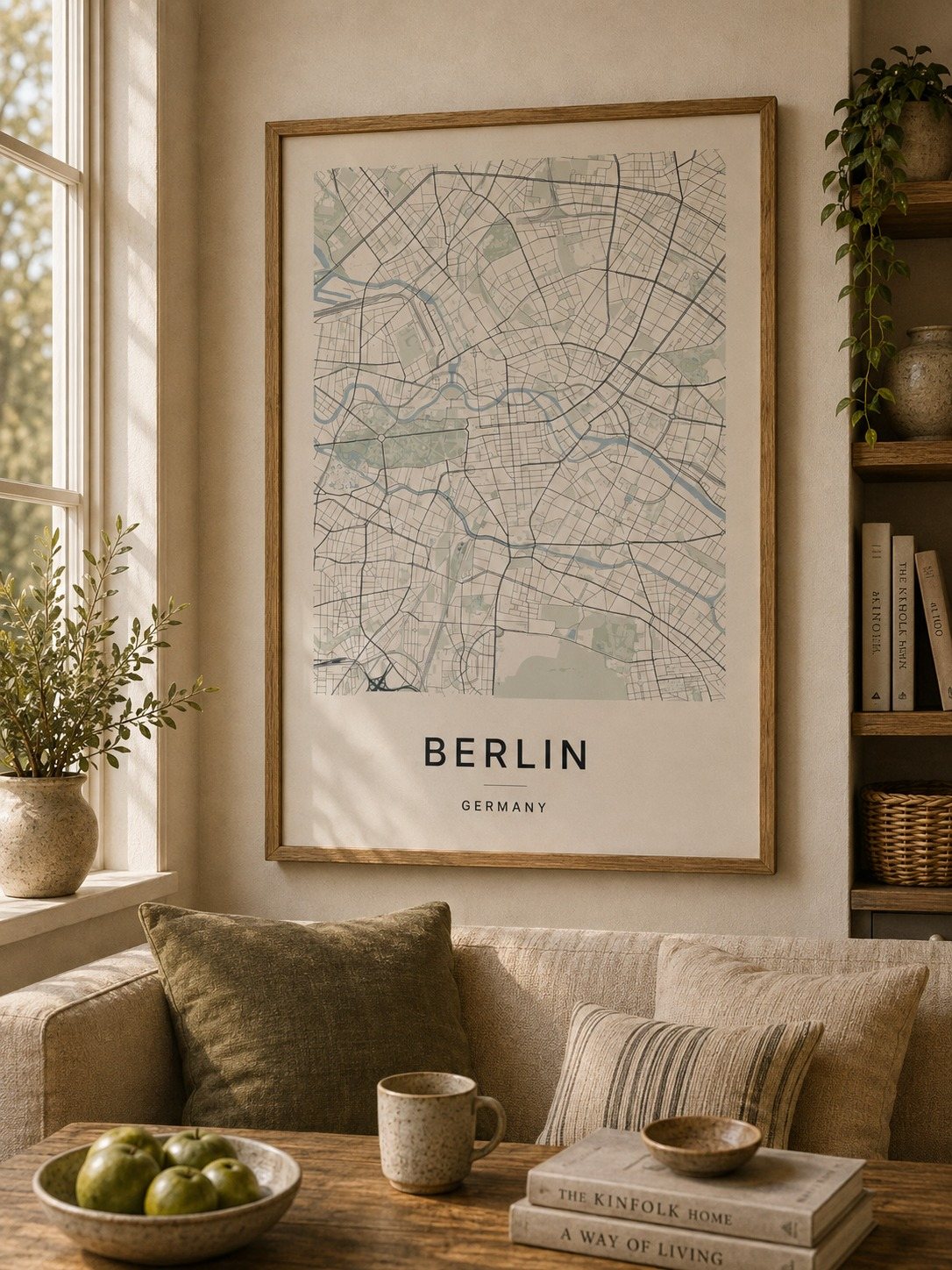
A minimalist Berlin map print in three colorways — an instant digital download for your wall. The Spree winds through the middle of it and the Landwehrkanal runs parallel below, with the Großer Tiergarten spread wide between them and Straße des 17. Juni cutting straight across. Friedrichstraße and Potsdamer Straße hold the center, Prenzlauer Allee and Schönhauser Allee reach north, and Volkspark Friedrichshain and Mauerpark keep their green out toward the edges. Drawn quiet and clear.
The colorways
One city, three moods
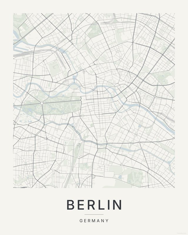
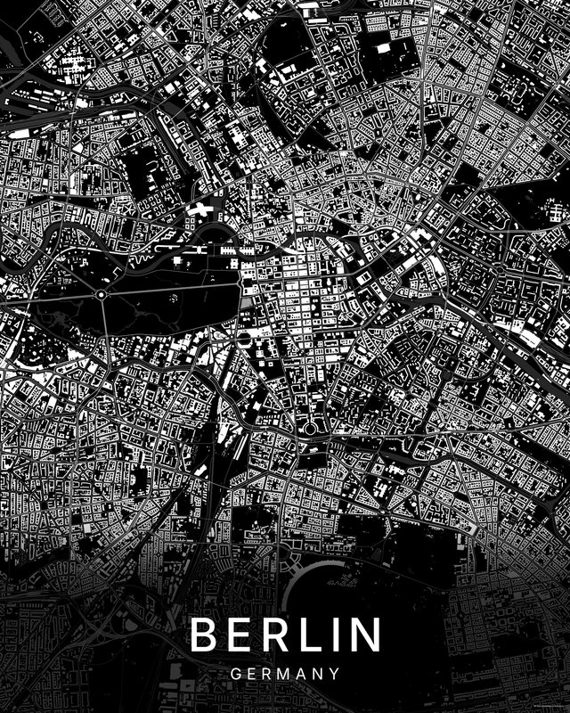
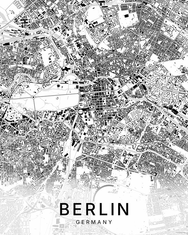
All three come with every purchase — the same Berlin fits a bright hallway or a moody study, and you can change your mind later.
The details
This print, exactly
- Coverage
- 7.6 km (4.7 mi) across, east to west
- Centred on
- 52.5162° N — 13.3862° E
- Place
- Germany
- Colorways
- Paper, Dark, Bright — all three included
- Print sizes
- five ratios, each at its largest print size · up to 24×36 in / 60×90 cm
- Files
- 300 DPI PDF, PNG and JPG
- Price
- $5.73
$8.19— instant download, nothing ships - Map data
- OpenStreetMap · © OpenStreetMap contributors
Print sizes
All included
- 12×18 · 16×24 · 24×36 in 30×45 · 40×60 · 50×75 cm
- 9×12 · 18×24 · 24×32 in 30×40 · 45×60 · 60×80 cm
- 8×10 · 16×20 · 24×30 in 20×25 · 40×50 · 60×75 cm
- A4 · A3 · A2 · A1 21×30 → 59×84 cm · fits IKEA / A-size frames
- 11×14 · 22×28 in 28×36 · 56×71 cm
Every purchase contains all three colorways in all five sizes, as 300 DPI PDF, PNG, and JPG — an instant digital download on Etsy. Nothing ships; you print it your way.
In the room
On the wall
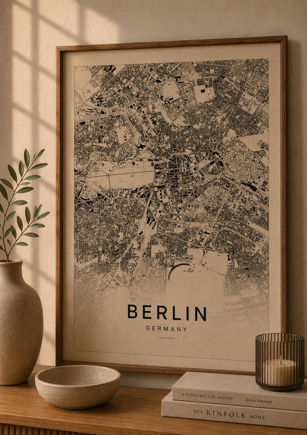
Keep exploring
More cities
Three colorways · five sizes
Take Berlin home
Instant digital download — nothing ships, no frame included.