

Masovian Voivodeship · Poland
WarsawMap Print
52.2493° N — 20.9956° E
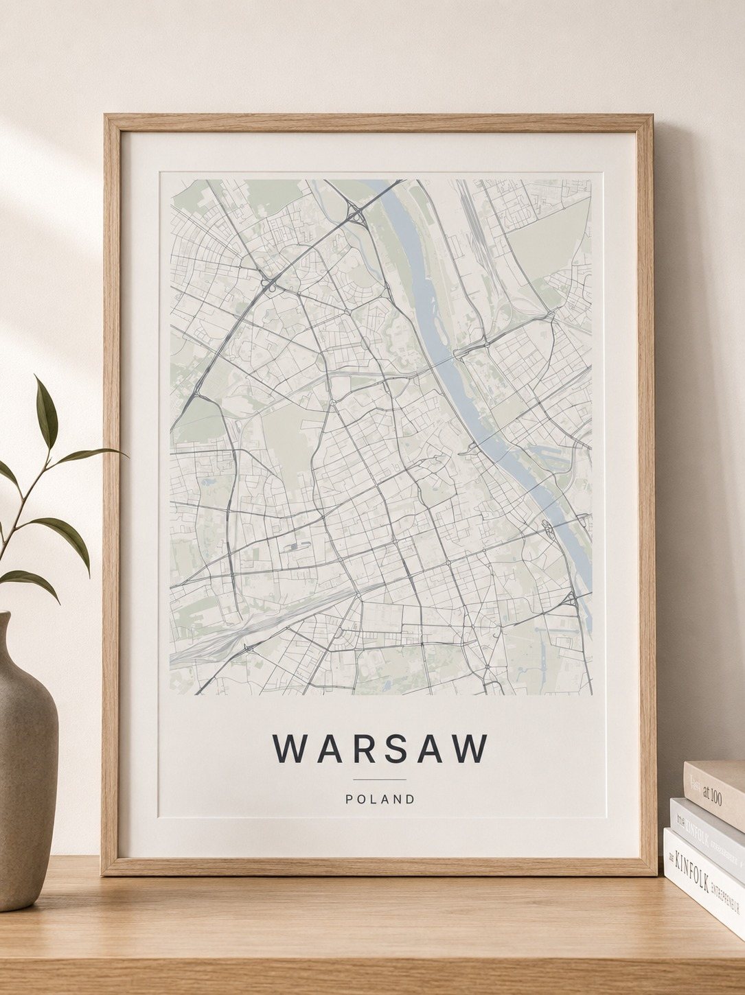
A minimalist Warsaw map print in three colorways — an instant digital download for your wall. Wisła runs broad and straight down the middle with Wybrzeże Gdyńskie following the bank and Port Praski cut in on the far side. Aleje Jerozolimskie crosses the whole city east to west, Aleja Jana Pawła II and Aleja Prymasa Tysiąclecia run north, and Jagiellońska holds the right bank. Cmentarz Powązkowski and Park Moczydło keep their green west of the center. Drawn quiet and clear.
The colorways
One city, three moods
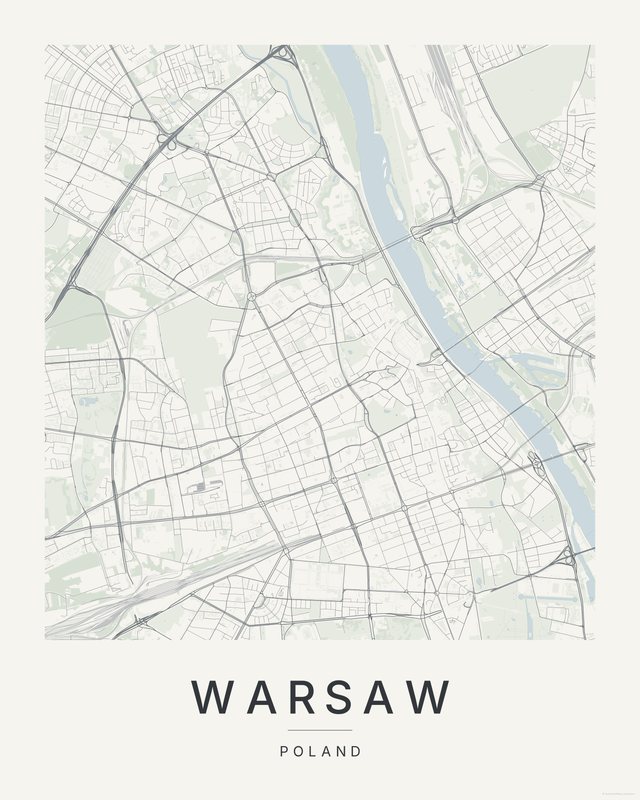
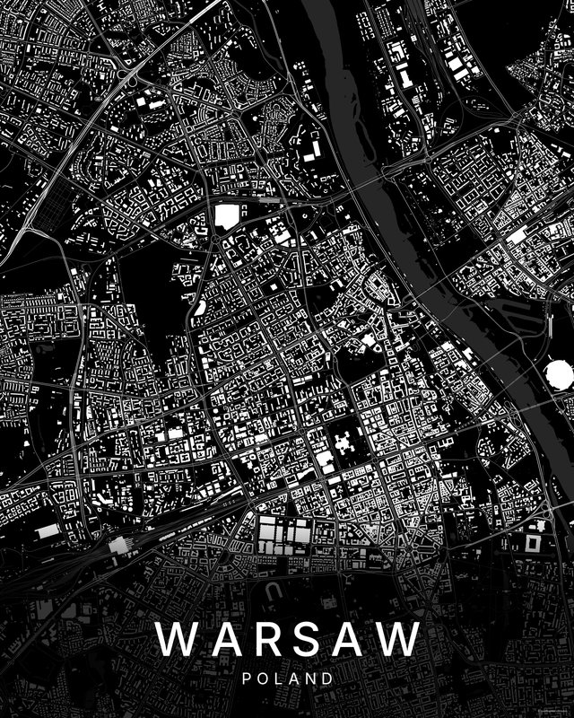
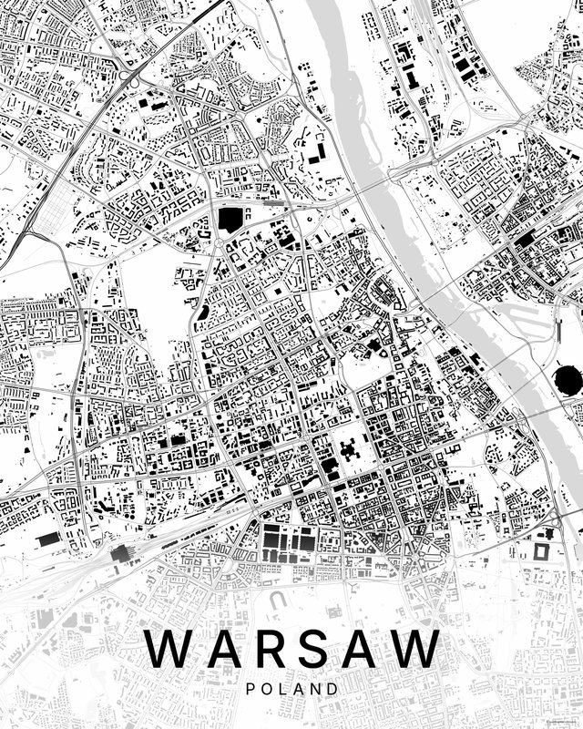
All three come with every purchase — the same Warsaw fits a bright hallway or a moody study, and you can change your mind later.
The details
This print, exactly
- Coverage
- 7.2 km (4.5 mi) across, east to west
- Centred on
- 52.2493° N — 20.9956° E
- Place
- Masovian Voivodeship · Poland
- Colorways
- Paper, Dark, Bright — all three included
- Print sizes
- five ratios, each at its largest print size · up to 24×36 in / 60×90 cm
- Files
- 300 DPI PDF, PNG and JPG
- Price
- $5.73
$8.19— instant download, nothing ships - Map data
- OpenStreetMap · © OpenStreetMap contributors
Print sizes
All included
- 12×18 · 16×24 · 24×36 in 30×45 · 40×60 · 50×75 cm
- 9×12 · 18×24 · 24×32 in 30×40 · 45×60 · 60×80 cm
- 8×10 · 16×20 · 24×30 in 20×25 · 40×50 · 60×75 cm
- A4 · A3 · A2 · A1 21×30 → 59×84 cm · fits IKEA / A-size frames
- 11×14 · 22×28 in 28×36 · 56×71 cm
Every purchase contains all three colorways in all five sizes, as 300 DPI PDF, PNG, and JPG — an instant digital download on Etsy. Nothing ships; you print it your way.
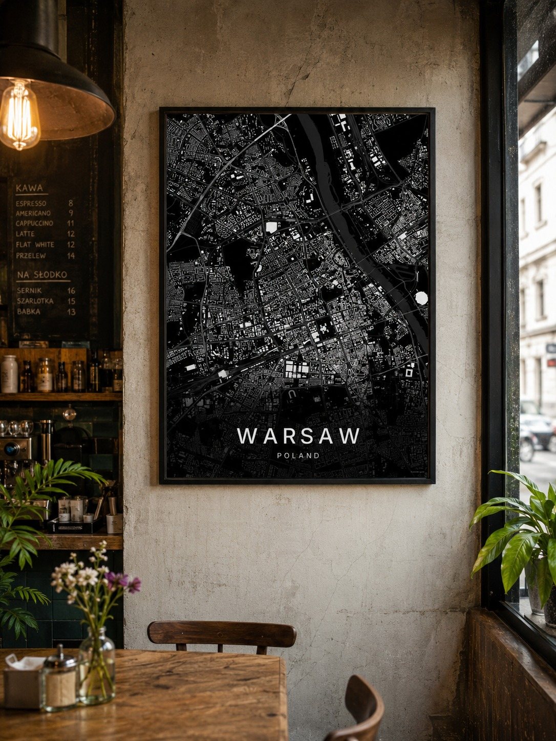
In the room
On the wall
Keep exploring
More cities
Three colorways · five sizes
Take Warsaw home
Instant digital download — nothing ships, no frame included.